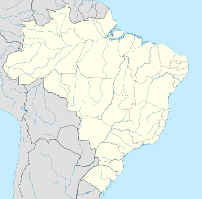
ढाँचा:Location map Brazil
स्वरूप

| ||||
| name | [[ब्राजिल]] | |||
|---|---|---|---|---|
| border coordinates | ||||
| 6.0 | ||||
| -74.5 | ←↕→ | -32.0 | ||
| -34.0 | ||||
| map center | 14°00′S 53°15′W / 14°S 53.25°W | |||
| image | Brazil location map.svg | |||
| image1 | Relief Map of Brazil.jpg | |||

| ||||

Template:Location map Brazil is a location map definition used to overlay markers and labels on an equirectangular projection map of Brazil. The markers are placed by latitude and longitude coordinates on the default map or a similar map image.
