
चित्र:Philippines relief location map (Mindanao).svg

Size of this PNG preview of this SVG file: ६५६ × ४८६ पिक्सल. और रिजोल्युशनहरु: ३२० × २३७ पिक्सल • ६४० × ४७४ पिक्सल • १,०२४ × ७५९ पिक्सल • १,२८० × ९४८ पिक्सल • २,५६० × १,८९७ पिक्सल।
खास फाइल (SVG चित्र,सानतिनो ६५६ × ४८६ पिक्सेलहरु, फाइल आकार: २.२१ मेगाबाइट)
.svg)
सारांश:
| बेलिविस्तार |
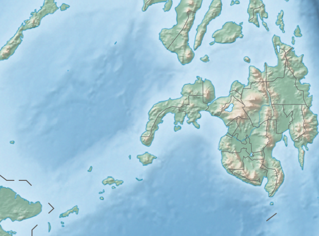
English: Physical location map of the Philippines (Mindanao)
Equirectangular projection based on the parallel of 10°43' N
|
| मिति | |
| स्रोत | File:Philippines location map (square).svg |
| लेख्यामान्सु | User:Hellerick |
| अन्य संस्करणहरू |
This file was derived from: Philippines relief location map (square).svg: .svg) |
.svg)
आज्ञापत्र दिन्नाछ़
यै फाइलको आधिकारिकता निम्न अन्तर्गत निर्धारण गर्याछ । क्रिएटिभ कमन्स एलाइक ३.० अनपोर्टेड लाईसेंस ।
- तम खालि भया
- बाण – कार्यको प्रतिलिपि, वितरण र प्रेषितका लाइ
- मिस – कामको अनुशरण अद्दु
- तल दिया सर्तहरु अनुसार:
- एट्रिब्युसन – तमले निश्चित लेखक वा आधिकारिक व्यक्तिले निर्धारण गरया मान्यतामी आधारित होइबर ये कार्यलाई योगदान अद्दु सकंछौ( तर कोइलई सल्लाहकर्ताले आफ्नो इछ्या रे चाहना अनुसार अद्दु सक्दाईनन्)|
- शेयर अलाइक – यदि तम ये कार्यमी के निर्माण, परिवर्तन, रे थप अद्दु चाहन्छौ भन्या येले निर्धारण गर्या निश्चित आधिकारिक प्रारूप भित्र रई बटि मात्र अद्धु सकुन्छौ |
फाइल इतिहास
तिथि/बेलामी क्लिक अरि तैबेला(समय) यो फाइल कसो थ्यो भणी हेद्द सकिन्याछ ।
| तिथि/बेला | थम्बनेल | आयाम | प्रयोगकर्ता | टिप्पणी | |
|---|---|---|---|---|---|
| यैलको | २०:२१, २७ अक्टोबर २०१७ | | ६५६ × ४८६ (२.२१ मेगाबाइट) | Mliu92 | Updated crop to add missing island. |
| २३:०८, २६ अक्टोबर २०१७ |  | ५७३ × ५७३ (२.२१ मेगाबाइट) | Mliu92 | User created page with UploadWizard |
फाइल उपयोग
येइ फाइल प्रयोग भयाः कोइ लै पन्ना नाइथिन।
विश्वव्यापी फाइल प्रयोग
निम्न और विकिहरुमि यै फाइलको प्रयोग:
- bcl.wikipedia.org मि उपयोग
- bn.wikipedia.org मि उपयोग
- en.wikipedia.org मि उपयोग
- Sulu Sea
- Moro Gulf
- Mount Apo
- Davao Gulf
- Iligan Bay
- Panguil Bay
- Bud Dajo
- Mount Butung
- Agusan River
- Lake Lanao
- Rio Grande de Mindanao
- Butuan Bay
- Mount Agad-Agad
- Mount Hibok-Hibok
- Mount Makaturing
- Mount Matutum
- Musuan Peak
- Agus River
- Sibuguey Bay
- Illana Bay
- Mount Sumagaya
- Dinagat Island
- Davao River
- Leonard Kniaseff
- Mount Kitanglad
- Macajalar Bay
- Pulangi River
- Cagayan River (Mindanao)
- Mount Dulang-dulang
- Tagoloan River
- Lake Buluan
- Lake Wood (Philippines)
- Lake Dapao
- Mount Malindang
- Mount Kalatungan
- Latukan
- Mount Balatukan
- Mount Hamiguitan
- Mount Baya
- Agusan Marsh Wildlife Sanctuary
- Camp General Basilio Navarro
- 2010 Mindanao earthquakes
- Manupali River
येइ फाइलओ more global usage हेर:
.svg)
.svg)