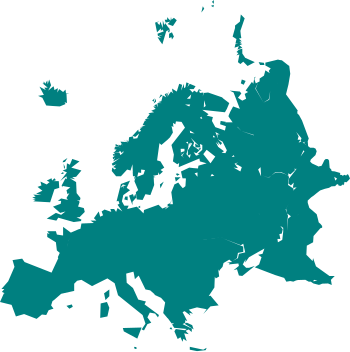
चित्र:Cartography of Europe.svg

Size of this PNG preview of this SVG file: ३५० × ३५१ पिक्सल. और रिजोल्युशनहरु: २३९ × २४० पिक्सल • ४७९ × ४८० पिक्सल • ७६६ × ७६८ पिक्सल • १,०२१ × १,०२४ पिक्सल • २,०४२ × २,०४८ पिक्सल।
खास फाइल (SVG चित्र,सानतिनो ३५० × ३५१ पिक्सेलहरु, फाइल आकार: ३१ किलोबाइट)
फाइल इतिहास
तिथि/बेलामी क्लिक अरि तैबेला(समय) यो फाइल कसो थ्यो भणी हेद्द सकिन्याछ ।
| तिथि/बेला | थम्बनेल | आयाम | प्रयोगकर्ता | टिप्पणी | |
|---|---|---|---|---|---|
| यैलको | १९:४४, २४ मार्च २०२१ |  | ३५० × ३५१ (३१ किलोबाइट) | PastelKos | Reverted to version as of 23:02, 23 May 2020 (UTC) so as to match with the other "cartography of ___" maps |
| १८:३८, २१ जनवरी २०२१ |  | ३५० × ३५१ (३१ किलोबाइट) | Est. 2021 | Reverted to version as of 15:33, 6 January 2010 (UTC) | |
| ०४:४७, २४ मे २०२० |  | ३५० × ३५१ (३१ किलोबाइट) | Sittaco | Reverted to version as of 00:20, 12 September 2009 (UTC) | |
| २१:१८, ६ जनवरी २०१० |  | ३५० × ३५१ (३१ किलोबाइट) | Hayden120 | Changed colour to blue; a colour commonly associated with Europe. It also matches the style of 'Portal:Europe' on the English Wikipedia. | |
| ०६:०५, १२ सेप्टेम्बर २००९ |  | ३५० × ३५१ (३१ किलोबाइट) | TownDown | {{Information |Description={{en|1=x}} |Source=Own work by uploader |Author=TownDown |Date= |Permission= |other_versions= }} Category:svg |
फाइल उपयोग
येइ फाइल प्रयोग भयाः कोइ लै पन्ना नाइथिन।
विश्वव्यापी फाइल प्रयोग
निम्न और विकिहरुमि यै फाइलको प्रयोग:
- ar.wikipedia.org मि उपयोग
- بوابة:ألمانيا
- بوابة:ألمانيا/بوابات شقيقة
- بوابة:إيطاليا
- بوابة:إيطاليا/بوابات شقيقة
- بوابة:فرنسا
- بوابة:إسبانيا
- بوابة:النمسا
- بوابة:البرتغال
- بوابة:سويسرا
- بوابة:كرواتيا
- بوابة:كرواتيا/شقيقة
- بوابة:بلغاريا
- بوابة:بلغاريا/شقيقة
- بوابة:المجر
- بوابة:المجر/شقيقة
- ويكيبيديا:مشروع ويكي الاتحاد الأوروبي
- بوابة:النمسا/شقيقة
- بوابة:اليونان
- بوابة:اليونان/شقيقة
- بوابة:الدنمارك/بوابات شقيقة
- بوابة:الدنمارك
- بوابة:رومانيا/بوابات شقيقة
- بوابة:رومانيا
- بوابة:ألبانيا/بوابات شقيقة
- بوابة:ألبانيا
- بوابة:مقدونيا الشمالية/بوابات شقيقة
- بوابة:مقدونيا الشمالية
- بوابة:صربيا/بوابات شقيقة
- بوابة:صربيا
- بوابة:البلقان/بوابات شقيقة
- بوابة:البلقان
- بوابة:كوسوفو/بوابات شقيقة
- بوابة:الجبل الأسود/بوابات شقيقة
- بوابة:الجبل الأسود
- بوابة:كوسوفو
- بوابة:البرتغال/بوابات شقيقة
- بوابة:المتوسط
- بوابة:المتوسط/بوابات شقيقة
- بوابة:ألبانيا/شقيقة
- بوابة:إسبانيا/بوابات شقيقة
- بوابة:سويسرا/بوابات أخرى
- بوابة:فرنسا/بوابات شقيقة
- بوابة:دورتموند
- بوابة:دورتموند/بوابات شقيقة
- bn.wikipedia.org मि उपयोग
- cs.wikipedia.org मि उपयोग
- de.wikipedia.org मि उपयोग
- el.wikipedia.org मि उपयोग
येइ फाइलओ more global usage हेर:


