
चित्र:India relief location map ganges highlighted.jpg

यै पूर्व रुपको आकार: ५५७ × ६०० पिक्सल। और रिजोल्युशनहरु: २२३ × २४० पिक्सल • ४४६ × ४८० पिक्सल • ७१३ × ७६८ पिक्सल • ९५१ × १,०२४ पिक्सल • १,५०० × १,६१५ पिक्सल।
खास फाइल (१,५०० × १,६१५ पिक्सेलहरु, फाइल आकार: ६१७ किलोबाइट, MIME प्रकार: image/jpeg)
सारांश:
| बेलिविस्तार |
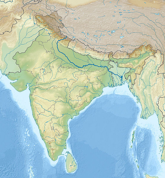
English: Location map of India with the Ganges highlighted. This can be an alternative map to be used with Template:Location map India. Equirectangular projection. Geographic limits of the map: top=37.5, bottom=5.0, left=67.0, right=99.0 |
| मिति | (UTC) |
| स्रोत | |
| लेख्यामान्सु |
|
| This is a retouched picture, which means that it has been digitally altered from its original version. The original can be viewed here: India relief location map.jpg:
|
आज्ञापत्र दिन्नाछ़
I, the copyright holder of this work, hereby publish it under the following licenses:
यै फाइलको आधिकारिकता निम्न अन्तर्गत निर्धारण गर्याछ । क्रिएटिभ कमन्स एलाइक ३.० अनपोर्टेड लाईसेंस ।
- तम खालि भया
- बाण – कार्यको प्रतिलिपि, वितरण र प्रेषितका लाइ
- मिस – कामको अनुशरण अद्दु
- तल दिया सर्तहरु अनुसार:
- एट्रिब्युसन – तमले निश्चित लेखक वा आधिकारिक व्यक्तिले निर्धारण गरया मान्यतामी आधारित होइबर ये कार्यलाई योगदान अद्दु सकंछौ( तर कोइलई सल्लाहकर्ताले आफ्नो इछ्या रे चाहना अनुसार अद्दु सक्दाईनन्)|
- शेयर अलाइक – यदि तम ये कार्यमी के निर्माण, परिवर्तन, रे थप अद्दु चाहन्छौ भन्या येले निर्धारण गर्या निश्चित आधिकारिक प्रारूप भित्र रई बटि मात्र अद्धु सकुन्छौ |

|
GNU Free Documentation Licenseका नीमआ अन्साऱ येइ कागजातलाई साद्द्या, बाण्ण्या रे/या फेलबदेल अद्द्या अनुमति दियीरैछ, Free Software Foundation बठेइ प्रकाशित भया: भर्जन १.२ या कोइलै नौलो भर्जन; बिना कोइ अपरिवर्तनीय धारा, फ्रन्ट कभर पाठ, रे ब्याक कभर पाठ सित। अनुमतियो यक प्रति GNU Free Documentation License शीर्षक भया: खण्डमी समाबेश अरीरैछ। |
तम आफुना इच्छा अन्साऽरो अनुमतिपत्र छान्न सकन्छौ|
Original upload log
This image is a derivative work of the following images:
- File:India_relief_location_map.jpg licensed with Cc-by-sa-3.0, GFDL
- 2010-04-23T15:31:11Z Uwe Dedering 1500x1615 (2100573 Bytes) {{Information |Description={{en|1=Location map of India. Equirectangular projection. Strechted by 106.0%. Geographic limits of the map: * N: 37.5° N * S: 5.0° N * W: 67.0° E * E: 99.0° E Made with Natural Earth. Free vect
Uploaded with derivativeFX
फाइल इतिहास
तिथि/बेलामी क्लिक अरि तैबेला(समय) यो फाइल कसो थ्यो भणी हेद्द सकिन्याछ ।
| तिथि/बेला | थम्बनेल | आयाम | प्रयोगकर्ता | टिप्पणी | |
|---|---|---|---|---|---|
| यैलको | ००:४७, १८ नोभेम्बर २०१० | | १,५०० × १,६१५ (६१७ किलोबाइट) | 배우는사람 | {{Information |Description={{en|1=Location map of India with the Ganges highlighted. This can be an alternative map to be used with Template:Location map India.}} |Source=*File:India_relief_location_map.jpg |Dat |
फाइल उपयोग
यै चित्रमी निम्न2 पानाहरू जोडिनान्:
विश्वव्यापी फाइल प्रयोग
निम्न और विकिहरुमि यै फाइलको प्रयोग:
- ace.wikipedia.org मि उपयोग
- ar.wikipedia.org मि उपयोग
- azb.wikipedia.org मि उपयोग
- bn.wikipedia.org मि उपयोग
- bs.wikipedia.org मि उपयोग
- bug.wikipedia.org मि उपयोग
- ceb.wikipedia.org मि उपयोग
- ckb.wikipedia.org मि उपयोग
- diq.wikipedia.org मि उपयोग
- dv.wikipedia.org मि उपयोग
- el.wikipedia.org मि उपयोग
- en.wikipedia.org मि उपयोग
- eo.wikipedia.org मि उपयोग
- Kolkato
- Nov-Delhio
- Mumbajo
- Taĝ-Mahalo
- Delhio
- Sentinelanoj
- Dezerto Tar
- Agra
- Prajagraĝo
- Kanpur
- Gaziabad
- Ĉandigaro
- Ŝablono:Geokesto lokumilo Barato
- Novmumbajo
- Gvalior
- Maduraj
- Hubli
- Ĝalandar
- Salem (Barato)
- Aligor
- Kota (Raĝastano)
- Barejli
- Tiruĉirapali
- Moradabad
- Gorakhpur
- Ĝamŝedpur
- Bikaner
- Koĉi (Barato)
- Raĝpur Sonarpur
- Siliguri
- Kolhapur
- Sangli
- Aĝmer
- Durgapur
- Ĝamuo
येइ फाइलओ more global usage हेर: