
चित्र:Usa edcp (+HI +AK) location map.svg

Size of this PNG preview of this SVG file: ८०० × ४९५ पिक्सल. और रिजोल्युशनहरु: ३२० × १९८ पिक्सल • ६४० × ३९६ पिक्सल • १,०२४ × ६३४ पिक्सल • १,२८० × ७९२ पिक्सल • २,५६० × १,५८५ पिक्सल • १,१८१ × ७३१ पिक्सल।
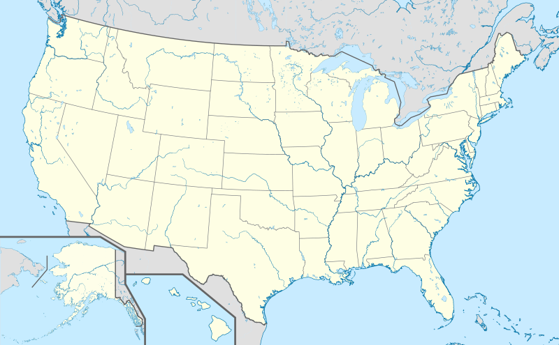
खास फाइल (SVG चित्र,सानतिनो १,१८१ × ७३१ पिक्सेलहरु, फाइल आकार: ३.६८ मेगाबाइट)
सारांश:
| बेलिविस्तार |
English: Location map of the USA (Hawaii and Alaska shown in sidemaps).
Main map: EquiDistantConicProjection : Central parallel : * N: 37.0° N Central meridian : * E: 96.0° W Standard parallels: * 1: 32.0° N * 2: 42.0° N Made with Natural Earth. Free vector and raster map data @ naturalearthdata.com. Formulas for x and y: x = 50.0 + 124.03149777329222 * ((1.9694462586094064-({{{2}}}* pi / 180))
* sin(0.6010514667026994 * ({{{3}}} + 96) * pi / 180))
y = 50.0 + 1.6155950752393982 * 124.03149777329222 * 0.02613325650382181
- 1.6155950752393982 * 124.03149777329222 *
(1.3236744353715044 - (1.9694462586094064-({{{2}}}* pi / 180))
* cos(0.6010514667026994 * ({{{3}}} + 96) * pi / 180))
Hawaii side map: Equirectangular projection, N/S stretching 107 %. Geographic limits of the map:
Alaska side map: Equirectangular projection, N/S stretching 210.0 %. Geographic limits of the map:
|
| मिति | |
| स्रोत |
मेरो आफ्नोई काम This vector image includes elements that have been taken or adapted from this file: This vector image includes elements that have been taken or adapted from this file: This vector image includes elements that have been taken or adapted from this file: This vector image includes elements that have been taken or adapted from this file: This vector image includes elements that have been taken or adapted from this file: This vector image includes elements that have been taken or adapted from this file: |
| लेख्यामान्सु |
TUBS |
| अन्य संस्करणहरू |
|
| SVG genesis |
_location_map.svg)
_relief_location_map.png)
_relief_location_map.svg)
_location_map.svg)
आज्ञापत्र दिन्नाछ़
I, the copyright holder of this work, hereby publish it under the following license:
यै फाइलको आधिकारिकता निम्न अन्तर्गत निर्धारण गर्याछ । क्रिएटिभ कमन्स एलाइक ३.० अनपोर्टेड लाईसेंस ।
- तम खालि भया
- बाण – कार्यको प्रतिलिपि, वितरण र प्रेषितका लाइ
- मिस – कामको अनुशरण अद्दु
- तल दिया सर्तहरु अनुसार:
- एट्रिब्युसन – तमले निश्चित लेखक वा आधिकारिक व्यक्तिले निर्धारण गरया मान्यतामी आधारित होइबर ये कार्यलाई योगदान अद्दु सकंछौ( तर कोइलई सल्लाहकर्ताले आफ्नो इछ्या रे चाहना अनुसार अद्दु सक्दाईनन्)|
- शेयर अलाइक – यदि तम ये कार्यमी के निर्माण, परिवर्तन, रे थप अद्दु चाहन्छौ भन्या येले निर्धारण गर्या निश्चित आधिकारिक प्रारूप भित्र रई बटि मात्र अद्धु सकुन्छौ |
फाइल इतिहास
तिथि/बेलामी क्लिक अरि तैबेला(समय) यो फाइल कसो थ्यो भणी हेद्द सकिन्याछ ।
| तिथि/बेला | थम्बनेल | आयाम | प्रयोगकर्ता | टिप्पणी | |
|---|---|---|---|---|---|
| यैलको | १६:१७, १५ मार्च २०१९ | | १,१८१ × ७३१ (३.६८ मेगाबाइट) | Lasunncty | remove unused elements and fix SVG errors |
| २२:४८, २४ अक्टोबर २०१३ |  | १,१८१ × ७३१ (६.९३ मेगाबाइट) | TUBS | ||
| २२:१२, २४ अक्टोबर २०१३ |  | १,१८१ × ७३१ (६.९४ मेगाबाइट) | TUBS | ||
| २१:३७, २४ अक्टोबर २०१३ |  | १,१८१ × ७३१ (३.७३ मेगाबाइट) | TUBS | ||
| २१:२३, २४ अक्टोबर २०१३ |  | १,१८१ × ७३१ (३.७३ मेगाबाइट) | TUBS | ||
| २१:१०, २४ अक्टोबर २०१३ |  | १,१८१ × ७३१ (३.७३ मेगाबाइट) | TUBS | == Summary == {{Information |Description={{en|1=Location map of the USA (Hawaii and Alaska shown in sidemaps). ===Main Map Projection=== EquiDistantConicProjection : Central parallel : * N: 37.0° N Central meridian : * E: 96.0° W Standard parallel... |
फाइल उपयोग
येइ फाइल प्रयोग भयाः कोइ लै पन्ना नाइथिन।
विश्वव्यापी फाइल प्रयोग
निम्न और विकिहरुमि यै फाइलको प्रयोग:
- als.wikipedia.org मि उपयोग
- San Marino (Kalifornien)
- Modesto
- Karlsruhe (Nord Dakota)
- Fargo
- Vorlage:Positionskarte USA
- St. Louis
- Philadelphia
- Norwood (Missouri)
- Wind Gap (Pennsylvania)
- Park City (Kentucky)
- Berne (Indiana)
- Vorlage:Infobox NRHP
- Vorlage:Positionskarte USA Texas
- Vorlage:Positionskarte USA Wisconsin
- Vorlage:Positionskarte USA Maryland
- Vorlage:Positionskarte USA New York
- Vorlage:Positionskarte USA New York City
- Vorlage:Positionskarte USA New York City Manhattan
- de.wikipedia.org मि उपयोग
- Hollywood
- Los Angeles
- San Francisco
- Wyoming
- Houston
- Boston
- Cape Canaveral (Küstenabschnitt)
- Seattle
- Grand Canyon
- Philadelphia
- Crazy Horse Memorial
- Phoenix (Arizona)
- Yellowstone-Nationalpark
- Arches-Nationalpark
- Badlands-Nationalpark
- Big-Bend-Nationalpark
- Biscayne-Nationalpark
- Bryce-Canyon-Nationalpark
- Canyonlands-Nationalpark
- Acadia-Nationalpark
- Black-Canyon-of-the-Gunnison-Nationalpark
- Carlsbad-Caverns-Nationalpark
- Channel-Islands-Nationalpark
- Miami
- Everglades-Nationalpark
- Glacier-Nationalpark (Vereinigte Staaten)
- Grand-Teton-Nationalpark
- Great-Basin-Nationalpark
- Isle-Royale-Nationalpark
- Joshua-Tree-Nationalpark
- Mount St. Helens
- Lassen-Volcanic-Nationalpark
येइ फाइलओ more global usage हेर:
_location_map.svg)
_location_map.svg)