
चित्र:Nepal location map.svg

Size of this PNG preview of this SVG file: ८०० × ४७६ पिक्सल. और रिजोल्युशनहरु: ३२० × १९० पिक्सल • ६४० × ३८१ पिक्सल • १,०२४ × ६०९ पिक्सल • १,२८० × ७६२ पिक्सल • २,५६० × १,५२३ पिक्सल • १,२०० × ७१४ पिक्सल।
खास फाइल (SVG चित्र,सानतिनो १,२०० × ७१४ पिक्सेलहरु, फाइल आकार: २९६ किलोबाइट)
सारांश:
| बेलिविस्तार |
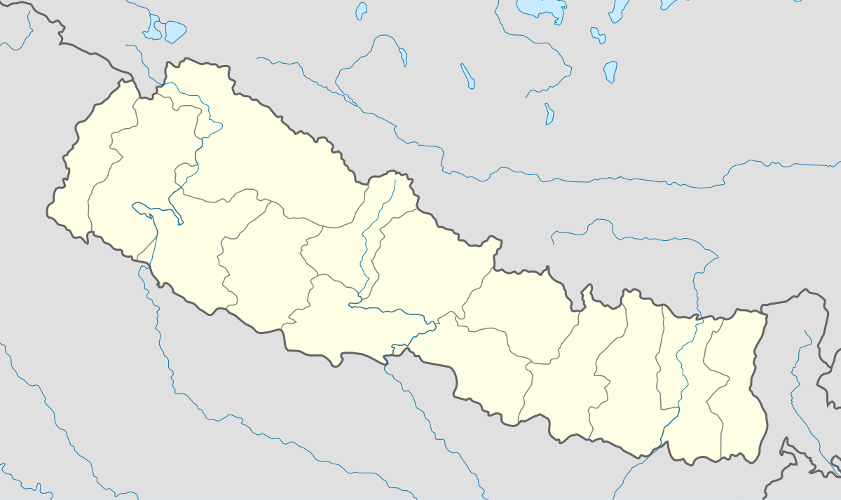
English: Location map of Nepal including the 14 administrative zones (outdated since 2015).
Equirectangular projection. Strechted by 113.0%. Geographic limits of the map: * N: 31.0° N * S: 26.0° N * W: 79.5° E * E: 89.0° EMade with Natural Earth. Free vector and raster map data @ naturalearthdata.com. |
| मिति | |
| स्रोत | मेरो आफ्नोई काम |
| लेख्यामान्सु | Uwe Dedering |
| अन्य संस्करणहरू |
|


आज्ञापत्र दिन्नाछ़
I, the copyright holder of this work, hereby publish it under the following licenses:
यै फाइलको आधिकारिकता निम्न अन्तर्गत निर्धारण गर्याछ । क्रिएटिभ कमन्स एलाइक ३.० अनपोर्टेड लाईसेंस ।
- तम खालि भया
- बाण – कार्यको प्रतिलिपि, वितरण र प्रेषितका लाइ
- मिस – कामको अनुशरण अद्दु
- तल दिया सर्तहरु अनुसार:
- एट्रिब्युसन – तमले निश्चित लेखक वा आधिकारिक व्यक्तिले निर्धारण गरया मान्यतामी आधारित होइबर ये कार्यलाई योगदान अद्दु सकंछौ( तर कोइलई सल्लाहकर्ताले आफ्नो इछ्या रे चाहना अनुसार अद्दु सक्दाईनन्)|
- शेयर अलाइक – यदि तम ये कार्यमी के निर्माण, परिवर्तन, रे थप अद्दु चाहन्छौ भन्या येले निर्धारण गर्या निश्चित आधिकारिक प्रारूप भित्र रई बटि मात्र अद्धु सकुन्छौ |

|
GNU Free Documentation Licenseका नीमआ अन्साऱ येइ कागजातलाई साद्द्या, बाण्ण्या रे/या फेलबदेल अद्द्या अनुमति दियीरैछ, Free Software Foundation बठेइ प्रकाशित भया: भर्जन १.२ या कोइलै नौलो भर्जन; बिना कोइ अपरिवर्तनीय धारा, फ्रन्ट कभर पाठ, रे ब्याक कभर पाठ सित। अनुमतियो यक प्रति GNU Free Documentation License शीर्षक भया: खण्डमी समाबेश अरीरैछ। |
तम आफुना इच्छा अन्साऽरो अनुमतिपत्र छान्न सकन्छौ|
फाइल इतिहास
तिथि/बेलामी क्लिक अरि तैबेला(समय) यो फाइल कसो थ्यो भणी हेद्द सकिन्याछ ।
| तिथि/बेला | थम्बनेल | आयाम | प्रयोगकर्ता | टिप्पणी | |
|---|---|---|---|---|---|
| यैलको | २३:३१, १८ फेब्रुअरी २०१० | | १,२०० × ७१४ (२९६ किलोबाइट) | Uwe Dedering | no disputed countries |
| १८:५०, १८ फेब्रुअरी २०१० |  | १,२०० × ७१४ (२९७ किलोबाइट) | Uwe Dedering | {{Information |Description={{en|1=Location map of Nepal. Equirectangular projection. Strechted by 113.0%. Geographic limits of the map: * N: 31.0° N * S: 26.0° N * W: 79.5° E * E: 89.0° E Made with Natural Earth. Free vector and raster map data |
फाइल उपयोग
यै चित्रमी निम्न2 पानाहरू जोडिनान्:
विश्वव्यापी फाइल प्रयोग
निम्न और विकिहरुमि यै फाइलको प्रयोग:
- ar.wikipedia.org मि उपयोग
- arz.wikipedia.org मि उपयोग
- ast.wikipedia.org मि उपयोग
- Everest
- Himalaya
- Makalu
- Kala Patthar
- Ama Dablam
- Cho Oyu
- Gokyo
- Namche Bazaar
- Nuptse
- Glaciar de Khumbu
- Lukla
- Katmandú
- Módulu:Mapa de llocalización/datos/Nepal
- Lhotse
- Dhaulagiri
- Manaslu
- Annapurna
- Módulu:Mapa de llocalización/datos/Nepal/usu
- Aeropuertu Tenzing-Hillary
- Aeropuertu de Bajhang
- Aeropuertu de baxura
- Aeropuertu de Bhadrapur
- Aeropuertu de Bharatpur
- Aeropuertu de Bhojpur
- Aeropuertu de Biratnagar
- azb.wikipedia.org मि उपयोग
- ba.wikipedia.org मि उपयोग
- be-tarask.wikipedia.org मि उपयोग
- bn.wikipedia.org मि उपयोग
- bpy.wikipedia.org मि उपयोग
- ceb.wikipedia.org मि उपयोग
- ce.wikipedia.org मि उपयोग
- ckb.wikipedia.org मि उपयोग
- de.wikipedia.org मि उपयोग
- el.wikipedia.org मि उपयोग
येइ फाइलओ more global usage हेर: